
Construction Progress Tracking
Automated, recurring visual timelines for construction and development sites.
Stay aligned and keep projects moving with repeatable weekly or monthly aerial captures. SkyGrid provides a clear visual record of site activity, progress, logistics, and milestone completion for owners, lenders, and project teams.
What This Service Is
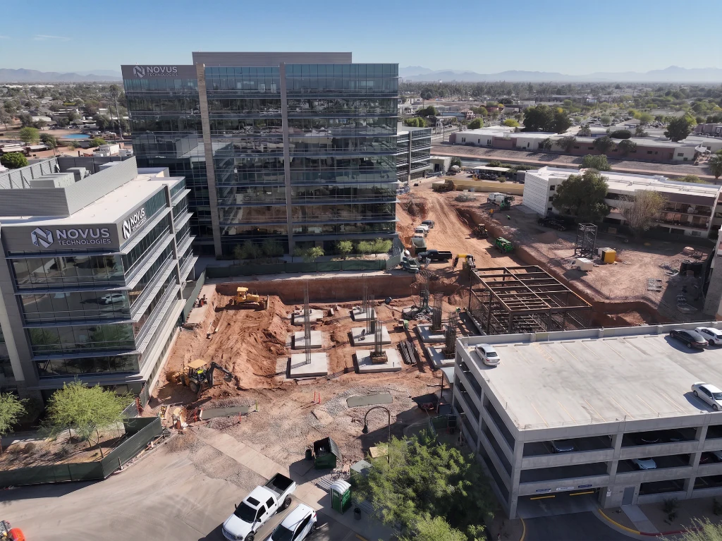
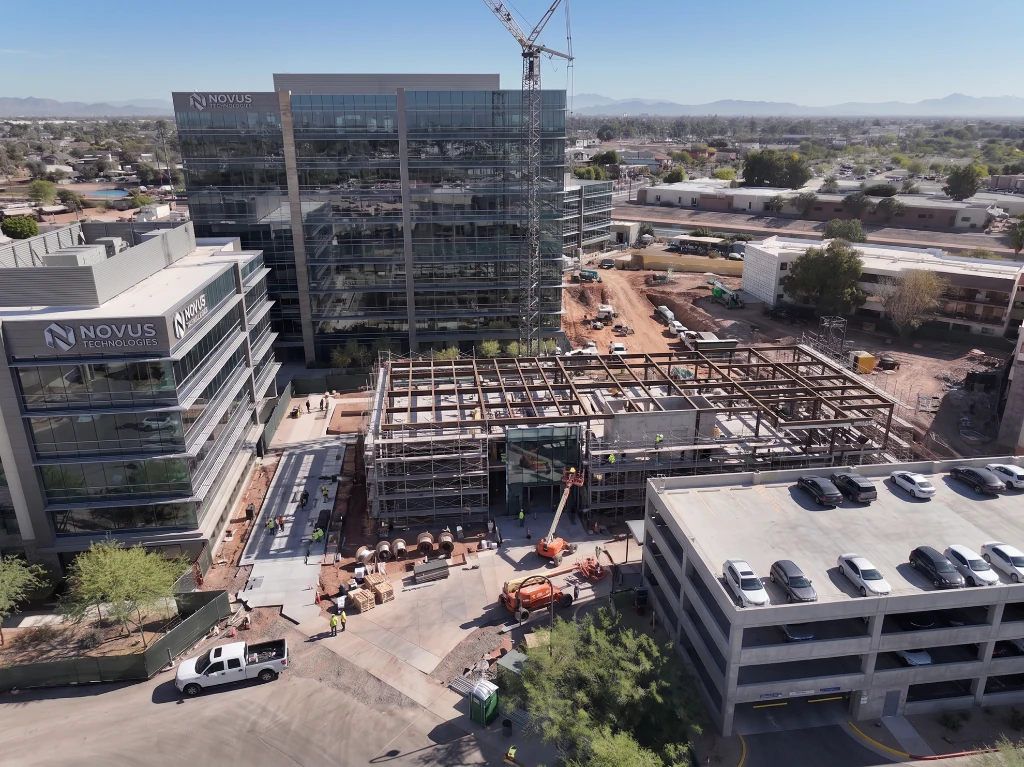
Construction progress tracking uses repeatable drone flight paths to capture the same key views on a recurring schedule. The result is a reliable visual timeline of site conditions that helps owners, project managers, and stakeholders verify progress, monitor logistics, support billing, and spot issues early.

Common Applications
Practical use cases for construction progress tracking.
Weekly site updates
Consistent visual reporting for OAC (Owner-Architect-Contractor) meetings.
Pay application verification
Visual proof of completed work to support accurate billing cycles.
Logistics planning
Monitor laydown yards, material storage, and site access routes.
Historical dispute resolution
An undeniable record of site conditions on any given date.
Remote stakeholder updates
Keep out-of-state investors informed without site visits.
Schedule alignment
Compare current visual data against planned milestones.
Typical Deliverables
Example project outputs you can expect to receive.
Recurring Orthomosaics
Updated 2D maps delivered on a consistent schedule for tracking horizontal progress.
Matched Progress Photos
High-resolution photos taken from identical GPS coordinates and angles every visit.
360° Site Panoramas
Interactive panoramic nodes allowing teams to look around the site from fixed vantage points.

Organized Timeline Delivery
A clean, chronological archive of all site data hosted in a secure cloud portal.
Why SkyGrid?
Professional focus, reliable outputs.
Flight Automation
We program exact flight paths to ensure perfectly matched photos week after week.
Unobtrusive Operations
Our pilots coordinate with site supers to fly safely without interrupting ground crews.
Consistent Turnaround
Data is processed and delivered reliably, so your team has it when they need it.
Scalable Solutions
From single buildings to massive master-planned communities.
Ready to See Your
World in Detail?
Tell us about your project. We'll scope it, fly it, and deliver precision data you can act on.