
High-Resolution Structural Inspection
Safe, stand-off visual data collection for roofs, facades, towers, and hard-to-reach assets.
Capture detailed imagery of difficult-access structures using advanced optics and repeatable drone workflows, enabling clear visual defect identification without exposing personnel to unnecessary risk.
What This Service Is
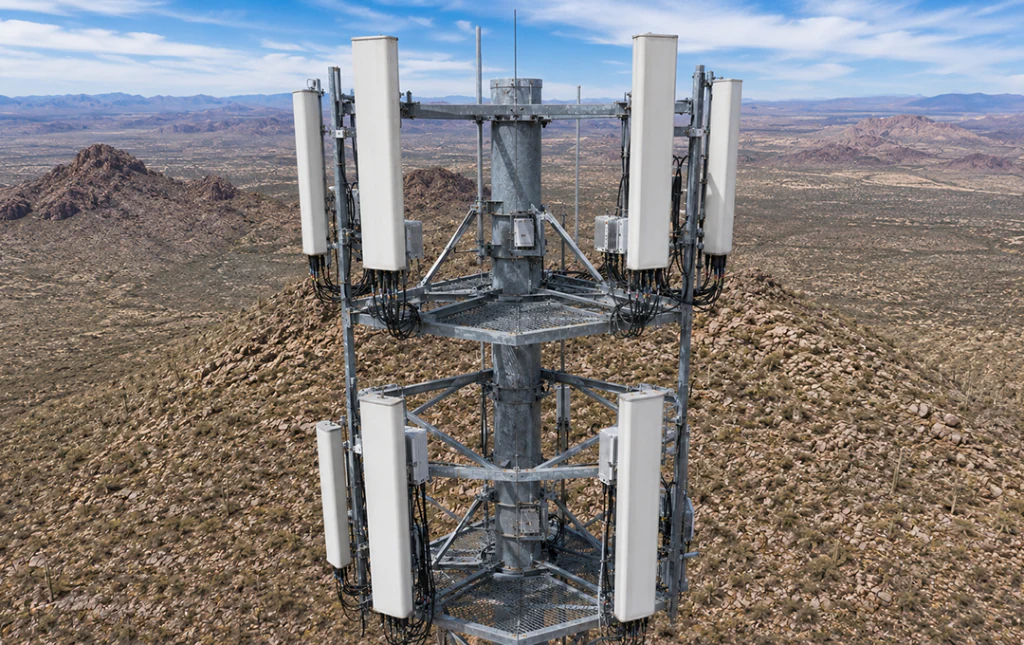
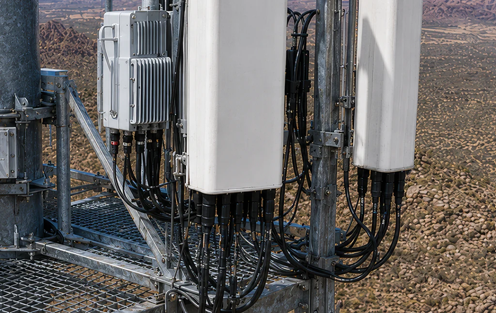
Aerial structural inspection replaces ladders, scaffolding, and rope access with high-resolution drone capture. We fly systematic patterns around buildings, telecommunications infrastructure, and complex roofs to gather overlapping visual data, allowing engineers, inspectors, and underwriters to review asset condition safely from their desktop.
Common Applications
Practical use cases for high-resolution structural inspection.
Commercial roof audits
Document HVAC units, membrane condition, drainage paths, flashing, and rooftop wear safely from the air.
Facade inspections
Review cladding, windows, sealants, masonry, and exterior envelope conditions on multistory structures.
Pre-underwriting documentation
Provide insurers with clear visual records of a property’s current exterior condition before policy issuance or renewal.
Post-storm damage assessment
Quickly evaluate roofs, facades, towers, and exposed structures after wind, hail, or severe weather events.
Routine maintenance checks
Identify wear, deterioration, loose components, and developing issues before they become costly failures.
Tower and stack review
Capture detailed visual data from telecommunications towers, stacks, and other difficult-access vertical assets.
Typical Deliverables
Example project outputs you can expect to receive.

High-Resolution Image Archive
An organized archive of original-quality inspection images captured for review, documentation, and reporting.
Inspection 3D Model
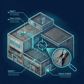
A navigable 3D model that helps reviewers understand spatial relationships and connect inspection photos to specific locations.
Roof Orthomosaic
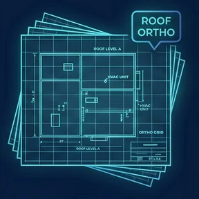
A high-detail top-down map of the roof surface for reviewing layout, drainage, equipment placement, and visible condition.

Condition Overview Video
A smooth 4K overview video that provides immediate context for the structure and its visible condition.
Why SkyGrid?
Professional focus, reliable outputs.
Telephoto Capabilities
Optical zoom workflows capture close-up detail while keeping the aircraft at a safe stand-off distance.
Safety First
Keep personnel on the ground while collecting high-resolution inspection data from the air.
Systematic Coverage
Structured flight paths help ensure complete visual coverage of facades, roofs, and hard-to-access features.
Clear Organization
Deliverables are organized so reviewers can quickly understand where images were captured and what they show.
Ready to See Your
World in Detail?
Tell us about your project. We'll scope it, fly it, and deliver precision data you can act on.