
Historical Preservation & Digital Twins
Detailed 3D documentation of heritage sites and complex architecture.
Create accurate digital records of important structures for archival, restoration planning, condition documentation, infrastructure inspection, and immersive presentation.
What This Service Is
Digital twin generation for historical preservation involves capturing thousands of overlapping high-resolution images from both aerial and ground perspectives. These images are processed into dense 3D point clouds and textured meshes, creating a permanent, measurable digital archive of a structure’s exact current condition, down to the intricate details of its facade, while also supporting condition assessment and inspection-oriented review.
Common Applications
Practical use cases for historical preservation & digital twins.
Architectural archiving
Create a permanent digital record before renovation, restoration, or natural aging alters the structure.
Restoration planning
Provide architects, engineers, and preservation teams with an accurate 3D reference for design and repair planning.
Damage assessment
Document cracking, weathering, material loss, and visible structural deterioration in detail.
Immersive virtual tours
Create navigable visual experiences for fragile, restricted, or historically significant environments.
Grant applications
Support preservation funding requests with compelling visual documentation and measurable site records.
Heritage management
Maintain a long-term digital record for important landmarks, preserved structures, and community heritage sites.
Typical Deliverables
Example project outputs you can expect to receive.
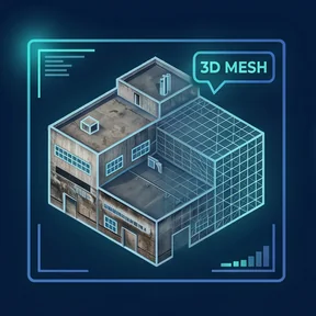
Textured 3D Mesh
A detailed photorealistic 3D model of the structure for visualization, review, documentation, and presentation.
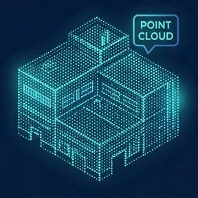
Dense Point Cloud
A high-density spatial dataset that supports accurate measurements, analysis, and downstream architectural workflows.
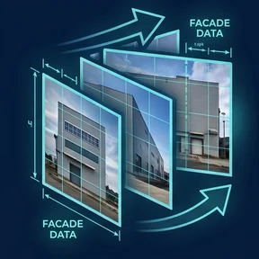
Facade Orthomosaics
High-resolution, distortion-controlled image exports of building elevations for reference, overlays, and documentation.
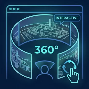
Interactive 360° Media
Navigable aerial and ground-based panoramas that provide immersive site context for review, communication, and public presentation.
Why SkyGrid?
Precise capture. Respectful workflows. Preservation-ready outputs.
Multi-Perspective Capture
We combine aerial and ground-based imagery to document structures completely, including roofs, facades, and hard-to-reach architectural details.
High-Resolution Detail
Capture workflows are designed to preserve fine material, facade, and ornament detail for accurate documentation and review.
Respect for the Site
Safe stand-off capture methods help protect delicate, restricted, or historically significant structures during documentation.
Flexible Deliverables
Outputs can support archival records, restoration planning, condition documentation, immersive presentation, and inspection-oriented review.
Ready to See Your
World in Detail?
Tell us about your project. We'll scope it, fly it, and deliver precision data you can act on.