
Earthwork & Volumetric Analysis
Precise data for cut/fill calculations and stockpile management.
Transform your site into actionable data. We capture accurate topographic information to help aggregate, mining, and heavy civil teams measure stockpiles, track earthmoving progress, and verify logistics.
What This Service Is
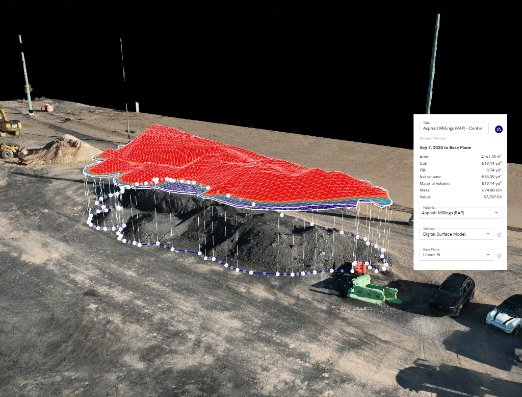
Volumetric analysis uses drone-based photogrammetry and RTK positioning to create dense 3D elevation models of a site. Rather than sending surveyors to manually walk stockpiles or shoot grids, a drone rapidly captures the entire surface. This data is then processed into elevation maps and point clouds, allowing for fast, safe, and highly accurate volume calculations.
Common Applications
Practical use cases for earthwork & volumetric analysis.
Stockpile Inventory
Quickly and safely measure gravel, sand, soil, or aggregate stockpiles.
Cut and Fill Tracking
Compare current terrain against planned design surfaces and monitor grading progress.
Mining Operations
Track extraction progress, pit changes, and material movement across active sites.
Mass Excavation Progress
Verify contractor quantities and measure how much earth has been moved over time.
Topographic Mapping
Generate contour lines and elevation data for drainage, grading, and planning analysis.
Logistics Verification
Confirm available space, material placement, and site readiness for upcoming phases.
Typical Deliverables
Example outputs delivered for earthwork measurement, terrain analysis, and site tracking.

Digital Surface Model (DSM)
A high-resolution elevation model representing the site’s terrain and above-ground surface conditions.

Point Cloud Data
Dense 3D spatial data ready for import into Civil 3D, AutoCAD, and other engineering workflows.

Contour Maps
Standard contour line outputs generated from the aerial surface model for grading and planning use.

Web-Based Measurement Tools
Cloud-based tools for checking elevations, drawing polygons, and calculating volumes directly in the browser.
Why SkyGrid?
Fast capture. Accurate surfaces. Decision-ready earthwork data.
Speed and Safety
Survey large active sites in hours while keeping personnel off unstable ground and material piles.
RTK Accuracy
RTK-enabled capture helps surface data align tightly to control and repeatable site coordinates.
Actionable Data
Deliverables are formatted for direct use in engineering, planning, and material-management workflows.
Repeatable Tracking
Re-fly the same site over time to compare terrain change, stockpile volumes, and earthmoving progress with confidence.
Ready to See Your
World in Detail?
Tell us about your project. We'll scope it, fly it, and deliver precision data you can act on.